Tenerife Topo Maps

| Package ID: | |
|---|---|
| Latest Version: | v7.2.2 |
| Latest update: | Apr 22, 2024 15:57:53 |
| Developer: | |
| Requirements: | Android |
| Category: | Other |
| Size: | 17.20 MB |
| Tags: | Navigation |
Embark on your Tenerife adventures with Tenerife Topo Maps, the ultimate outdoor GPS navigation app. With access to topographic maps and aerial images, explore the island's stunning landscapes offline. Enjoy features like waypoint creation, track recording, and trip statistics. Seamlessly share your experiences and customize map views. Upgrade to Pro for offline use, bulk map downloads, route creation, and more. Don't miss out on unlocking the full potential of your outdoor exploration. Download Tenerife Topo Maps now and let your adventures begin!
Features of Tenerife Topo Maps:
- Easy to use Outdoor/Offline GPS navigation
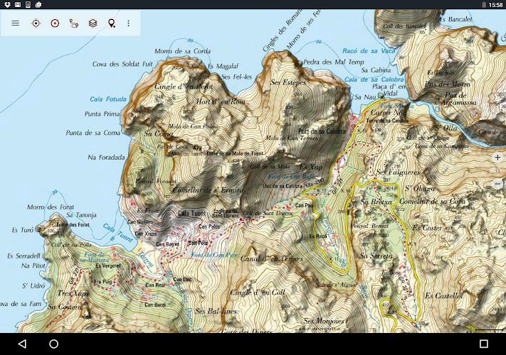
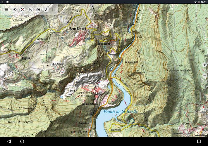
- Access to the best topographic maps and aerial images for Teneriffa
- Similar mapping options as Garmin or Magellan GPS handhelds
- Wide range of map layers including Tenerife Topo Map, Tenerife Base Map, Tenerife Imagery, Land Register Map, OpenStreetMaps, OpenCycleMaps, ESRI Topographic, ESRI Aerial Images, ESRI Street Map, Google Road Map, Google Satellite Images, Google Terrain Map, Bing Road Map, Bing Satellite Images, Earth At Night, and Hillshading overlay
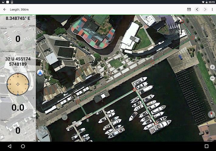
- Main features for outdoor-navigation such as Waypoint creation and editing, GoTo-Waypoint-Navigation, Track Recording, Tripmaster with various fields, GPX/KML/KMZ Export, Search functionality, Customizable data fields, and more
- Available Pro features including Offline Use, Easy+Fast Bulk-download of map tiles for offline usage, Route creation and navigation, GPX/KML/KMZ Import, unlimited Waypoints & Tracks, and ability to add other Map Tile-Server
Conclusion:
Tenerife Topo Maps is a comprehensive GPS mapping app designed for outdoor enthusiasts. With its extensive map layers, including topographic maps, aerial imagery, and crowdsourced maps, it provides detailed and accurate navigation information for Tenerife. The app's user-friendly interface and a wide range of features, such as waypoint creation, track recording, and trip statistics, make it a valuable tool for hikers, bikers, campers, and other outdoor adventurers. Whether you're exploring the backcountry or planning your next outdoor excursion, Tenerife Topo Maps has everything you need to navigate with confidence.


