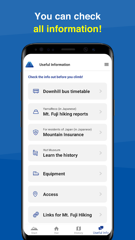
Mt. Fuji - GPS Trail Map is the ultimate companion for all outdoor enthusiasts who love hiking, trekking, and trail running. This innovative application serves as a GPS trail map, providing you with the most accurate and up-to-date information about the iconic Mt. Fuji and its surrounding trails. One of its standout features is the ability to use offline trail maps, allowing you to navigate even in areas without an internet connection. Additionally, the app offers easy trail route selection, mountain hut/lodge information, and the option to store a GPS log of your hike. With voice notifications and the ability to record your journey, this app ensures that your hiking experience is safe, seamless, and unforgettable. Sign in to YamaReco for the latest Mt. Fuji conditions and connect with fellow outdoor enthusiasts.
Features of Mt. Fuji - GPS Trail Map:
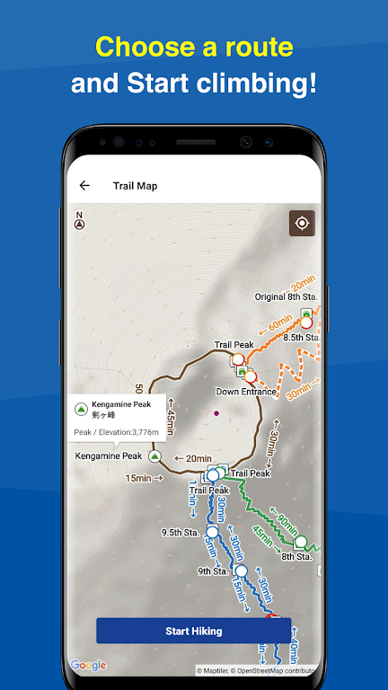
Offline Trail Map Access: Download detailed trail maps in advance and access them without an internet connection, ensuring you're always equipped even in remote areas of Mount Fuji.
GPS Location Tracking: Use real-time GPS tracking to monitor your current position on the trail and navigate through challenging terrain with ease.
Voice Notifications: Stay on the correct route with voice notifications that alert you if you deviate from your planned path, helping prevent you from getting lost.
Mountain Hut and Lodge Information: Access vital information about mountain huts and lodges along the trail, including location and availability, to plan rest stops and overnight stays during your climb.
Tips for Users:
Make sure to download the trail map and necessary data before heading to Mount Fuji. This way, you can access the map even without an internet connection.
Take advantage of the voice notification feature to stay on the right track. This will help you avoid getting lost or deviating from your planned route.
Use the mountain hut/lodge information to plan your accommodations during your hike. Making reservations in advance will ensure you have a place to rest and recharge.
Take photos and use the GPS log feature to keep a record of your hike. This will allow you to look back on your achievements and share your experiences with others.
Sign in to YamaReco for the latest information on Mount Fuji conditions. Stay updated on weather changes, trail closures, and any other important updates to ensure a safe and enjoyable climb.
Conclusion:
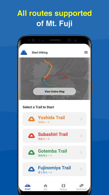
With its six exciting features, this app provides a seamless and enjoyable experience for users. Firstly, the offline trail map feature allows you to access Mt. Fuji maps even when you're in remote areas without internet connection. Secondly, the easy preparation feature simplifies the hiking process by providing four popular trail routes to choose from. Thirdly, the app provides mountain hut/lodge information, enabling you to make reservations conveniently. Moreover, the app allows you to create a hiking log using GPS, ensuring you have a record of your memorable journey. The voice notification feature keeps you on track by alerting you when you deviate from your planned route. Lastly, the app makes it hassle-free to document your hike by utilizing GPS logs and photos. Additionally, by signing in to YamaReco, you can stay updated with the latest Mt. Fuji conditions, enhancing your safety and enjoyment. Download Mt. Fuji - GPS Trail Map now to embark on your next adventure with confidence!


